Pix4D is a Swiss company that develops a suite of software products that use photogrammetry and computer vision algorithms to transform RGB, thermal and multispectral images into 3D maps and models.

The Beirut explosion: drone mapping for recovery?

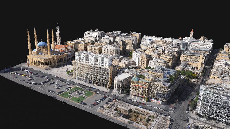
When the Beirut Explosion shook Lebanon in August 2020, an ammonium stockpile totaling over 2,000 tones blew up. Damage to buildings occurred as far as 5 kilometers away. More than 200 people lost their lives, and a further 300,000 people were displaced. The scale of the damage was so extreme almost no one knew where to begin. International efforts started immediately, with humanitarian aid ranging from medical support to clearing debris. One thing became overwhelmingly clear: the damage was immense. One organisation, wanted to measure the damage and provide that data to any group helping the recovery efforts that needed it. The mission was simple: do damage assessment and create an open-access resource. The next question was how.

Image1

Europe, we have a problem!

Every year, over 300,000 people suffer from out-of-hospital cardiac arrest (OHCA) in Europe. Only 8–10% survive. [1] Increasing survival in OHCA is actually not rocket science. Scientists and medical experts all agree that early cardiopulmonary resuscitation (CPR) and the use of an automated external defibrillator (AED) save lives and if used within the first 3–5 minutes survival could double!

shutterstock_1823899274

Tomorrow’s ambulance – Technology: ally or enemy?

Technology is changing the world at a breakneck speed. In this ‘global village’, where everything is intertwined and everyone can interact, challenges are increasing in different fields of society. The public safety sector is no exception. What trends and opportunities are beginning to emerge? What are the challenges and threats that arise?